Contact Us
  • slider (Custom)-3.jpg

Share:

Project Highlights:

  • Right-of-way to right-of-way topographic mapping
  • Right-of-way resolution, easement descriptions
  • UAV flight with orthomosaic deliverable
  • Preparation of design plan and profile sheet set
DSCN3787.jpg
Photo 1.jpg

Project Summary

Client: Northwest Natural
Location: Eugene, OR
Service Provided: Land Surveying, UAV Technology
 
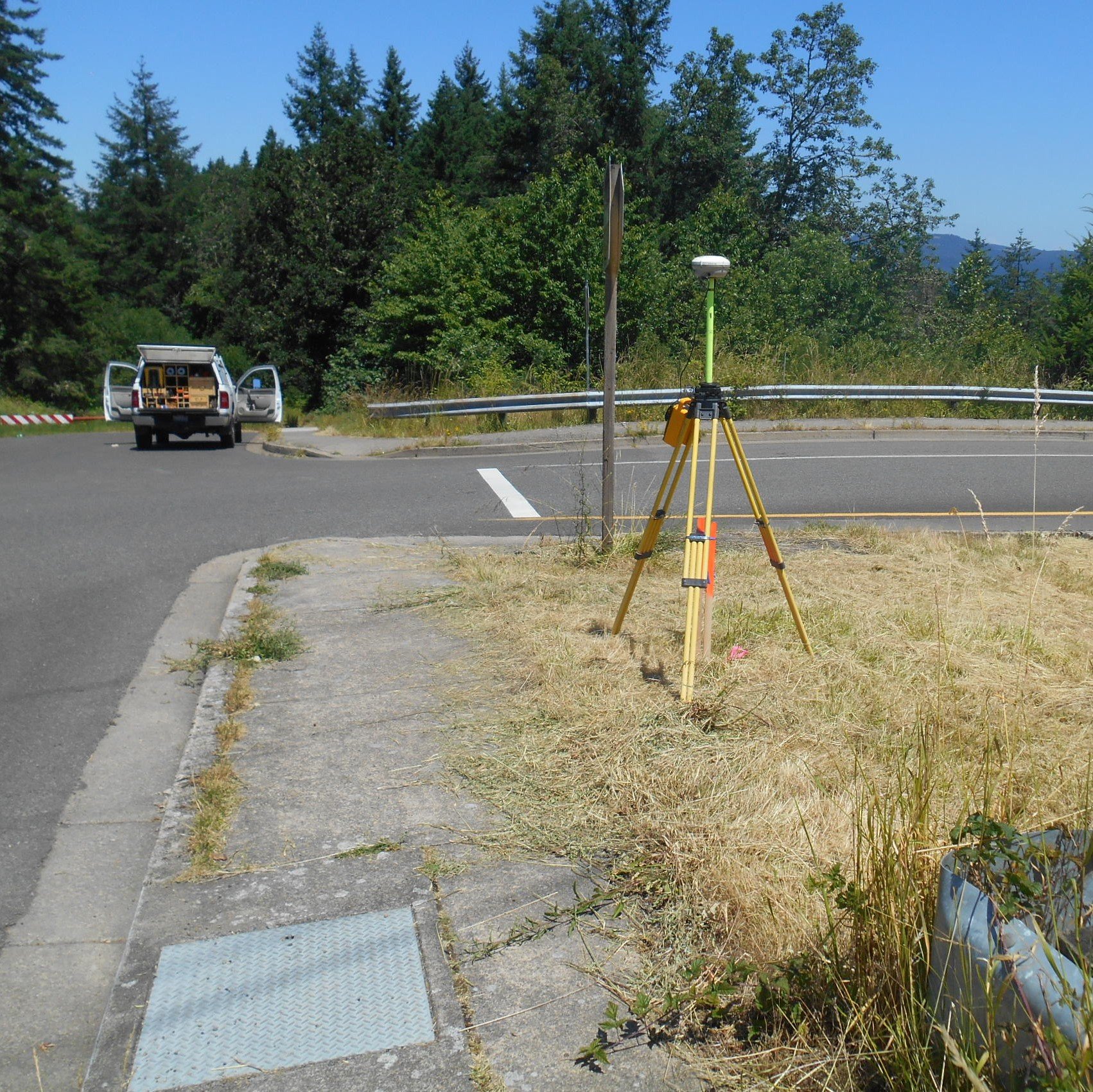
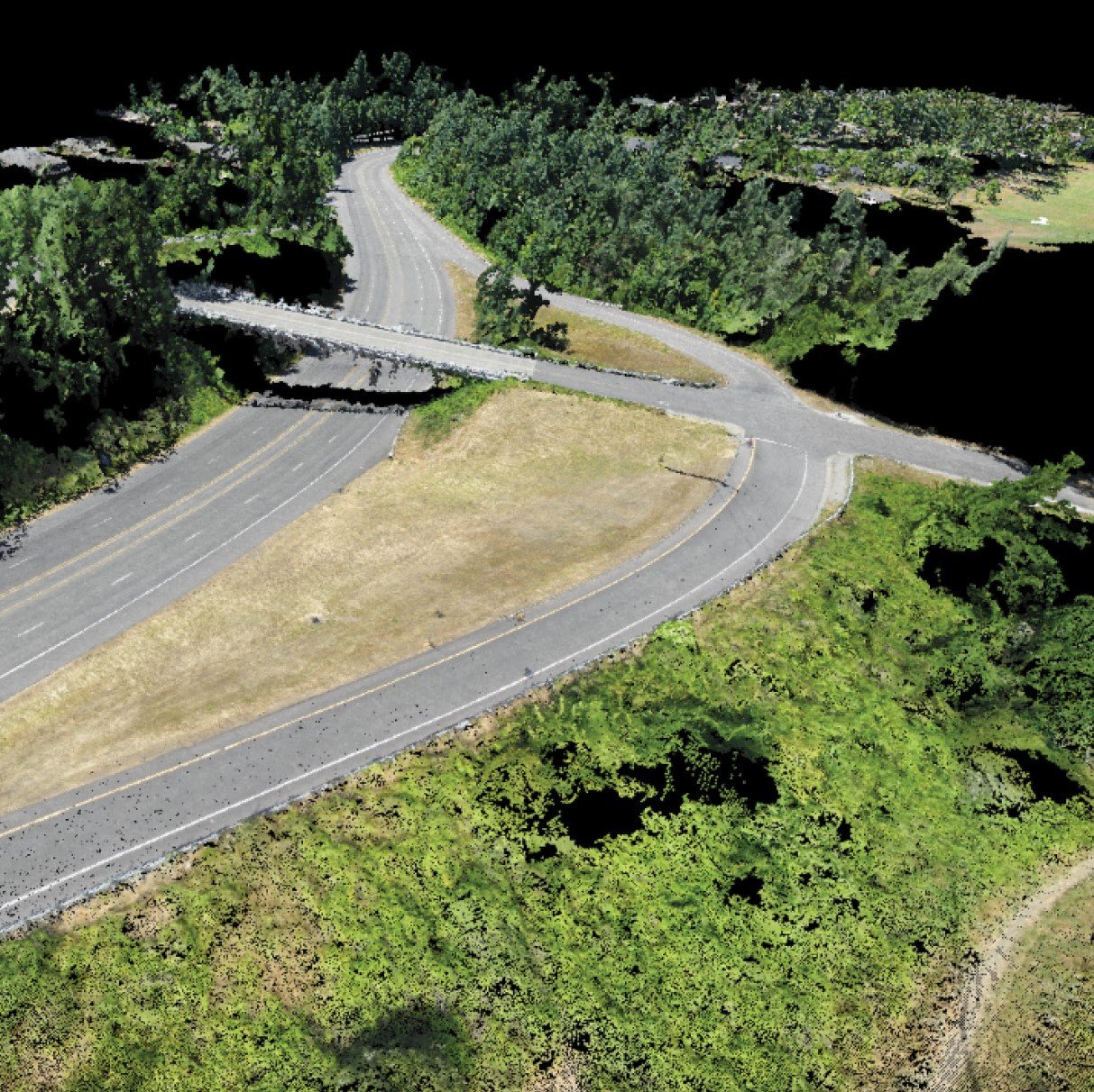
MacKay Sposito provided survey and mapping support for NW Natural‘s SE Eugene Expansion project. Our team developed a topographic basemap of the 3-mile corridor to aid in gas pipeline design. We provided UAV services using our SensFly eBee and 20 megapixel Soda Camera to provide a georeferenced orthomosaic image of the current conditions within project limits. A point cloud was generated and used to augment traditional survey data where it was more efficient than traditional survey methods.

This project had a condensed timeline. In order to remain on schedule, our team coordinated with the potholing company to pothole the existing utilities on short notice. This was crucial in order to begin design work and keeping the project on schedule.