Client:Washington State Department of Transportation
Location: Cowlitz County, WA
Service Provided: UAV Technology, Land Surveying
In mid-March of 2017, the Washington State Department of Transportation (WSDOT) contacted MacKay Sposito about an emergency response UAS flight to respond to a landslide on SR 503 near Speelyai Bay Road. We were able to review flight restrictions, plan our flights and necessary ground survey control, and mobilize for the flight within 48-hours. In actuality, we could have mobilized the following day if weather conditions were more favorable.
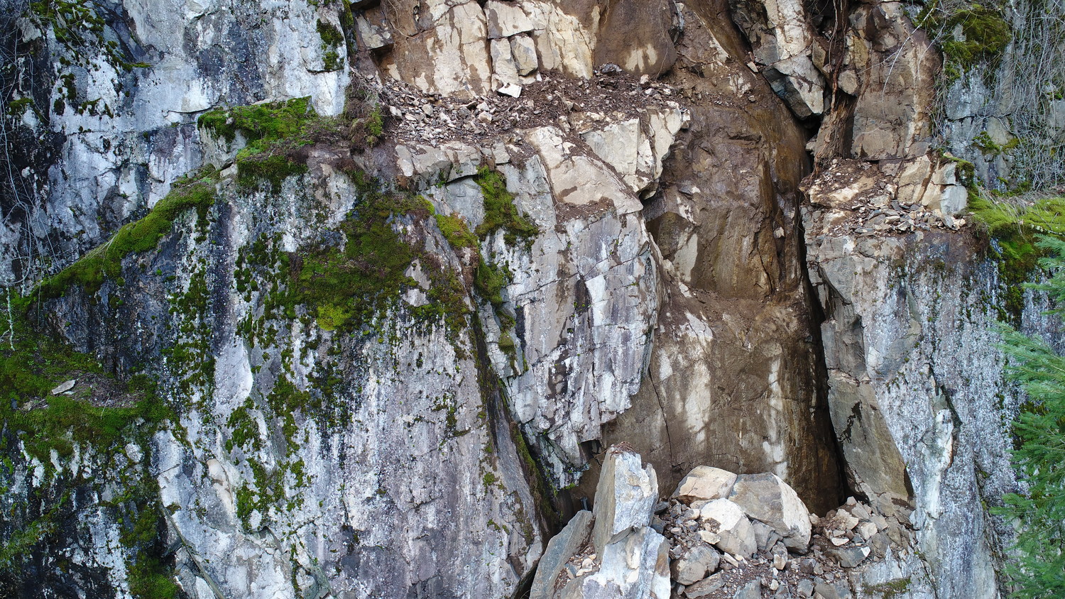
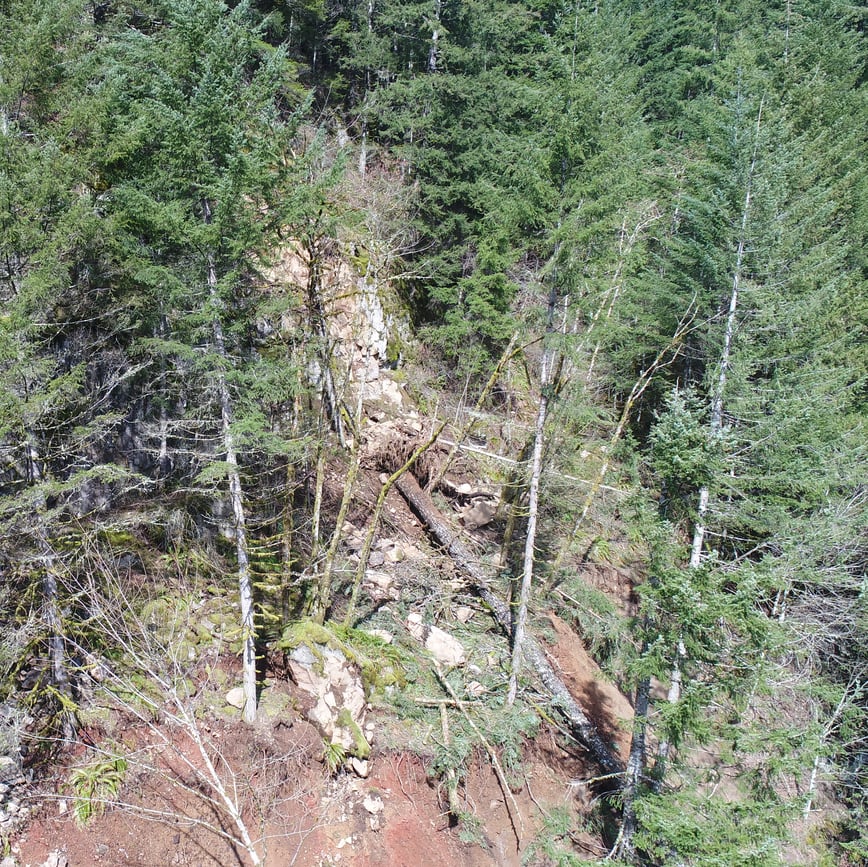
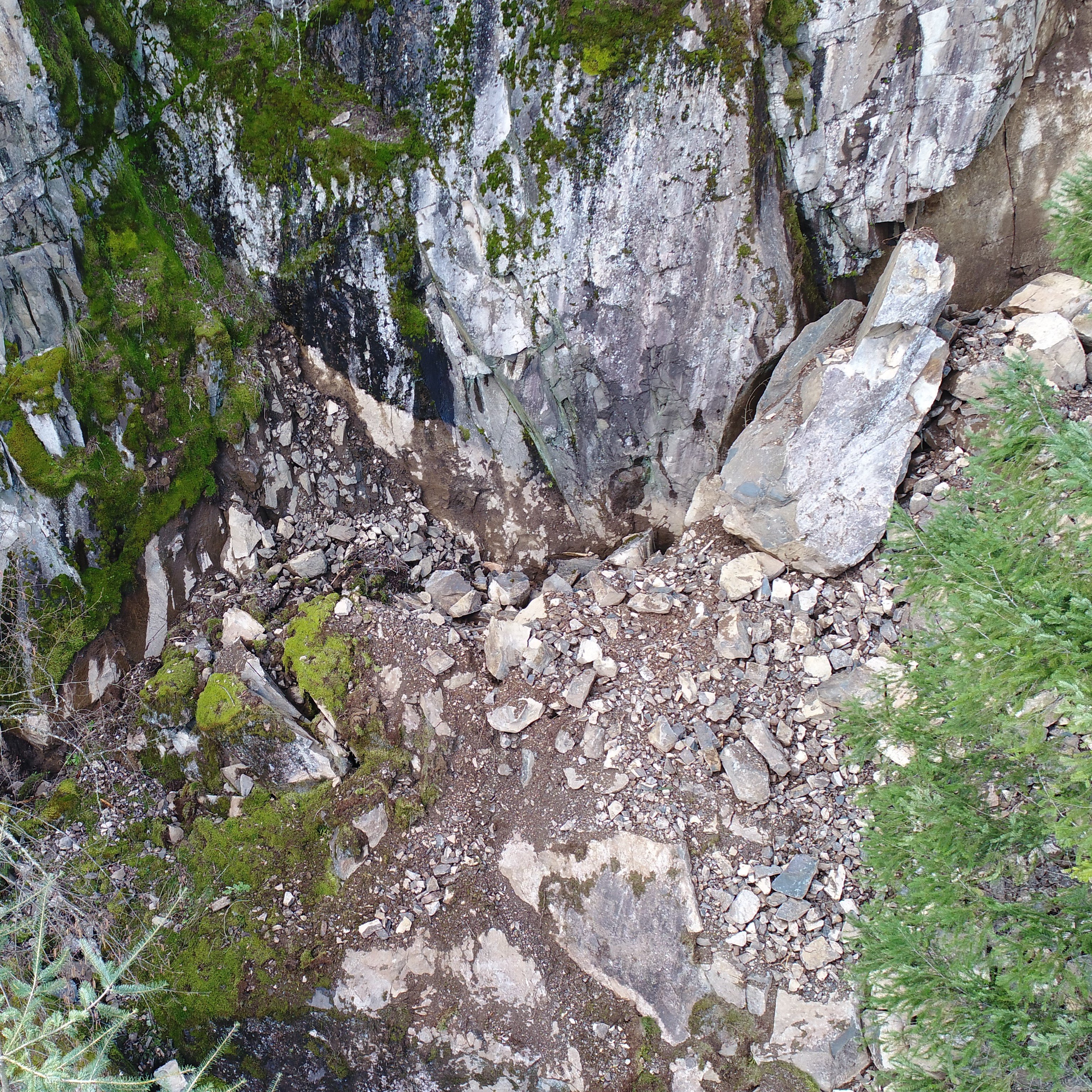
Since the flight path was heavily vegetated with large stands of tall trees and featured steep slopes we flew Phantom 4 quadcopter. The landslide was active, and WSDOT restricted access to the area. The goal was to develop high-definition photography and 4k video of the slide area so WSDOT geotechnical engineers could determine the nature of the slide and ongoing safety of the area. We also provided an accurate 3-dimensional model of the slide to develop earthwork volumes and plan explosive charges for addition slope removal.
MacKay Sposito deployed their UAS team and two land surveying crews to tie the resulting data to state plane coordinates and maximize the vertical accuracy of flight data. The unstable nature of the slope and site restrictions required the survey crew to use reflectorless survey technology to capture confidence points and flight targets on the landslide slope. They mobilized to both sides of the slide and controlled the UAS flight from two locations. The overlap of these two crews proved essential to the accuracy of the final deliverables. MacKay Sposito used several post-flight processing techniques to maximize the quality of the resulting photography and high definition video. We also used cleaning techniques to develop a surface model devoid of vegetation to ensure earthwork accurately.


