UAV technology
Using cutting edge technology to bring a new perspective to your projects


-4.jpg)
Using cutting edge technology to bring a new perspective to your projects

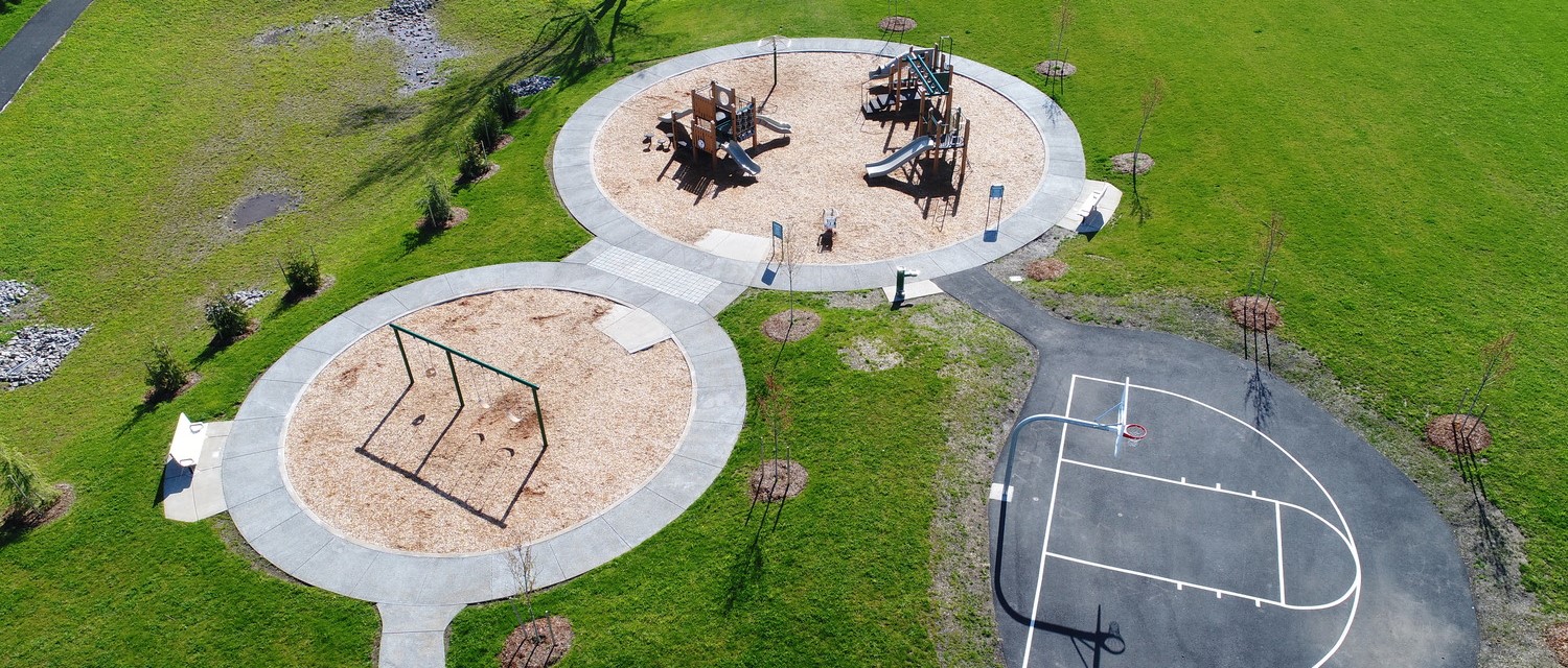
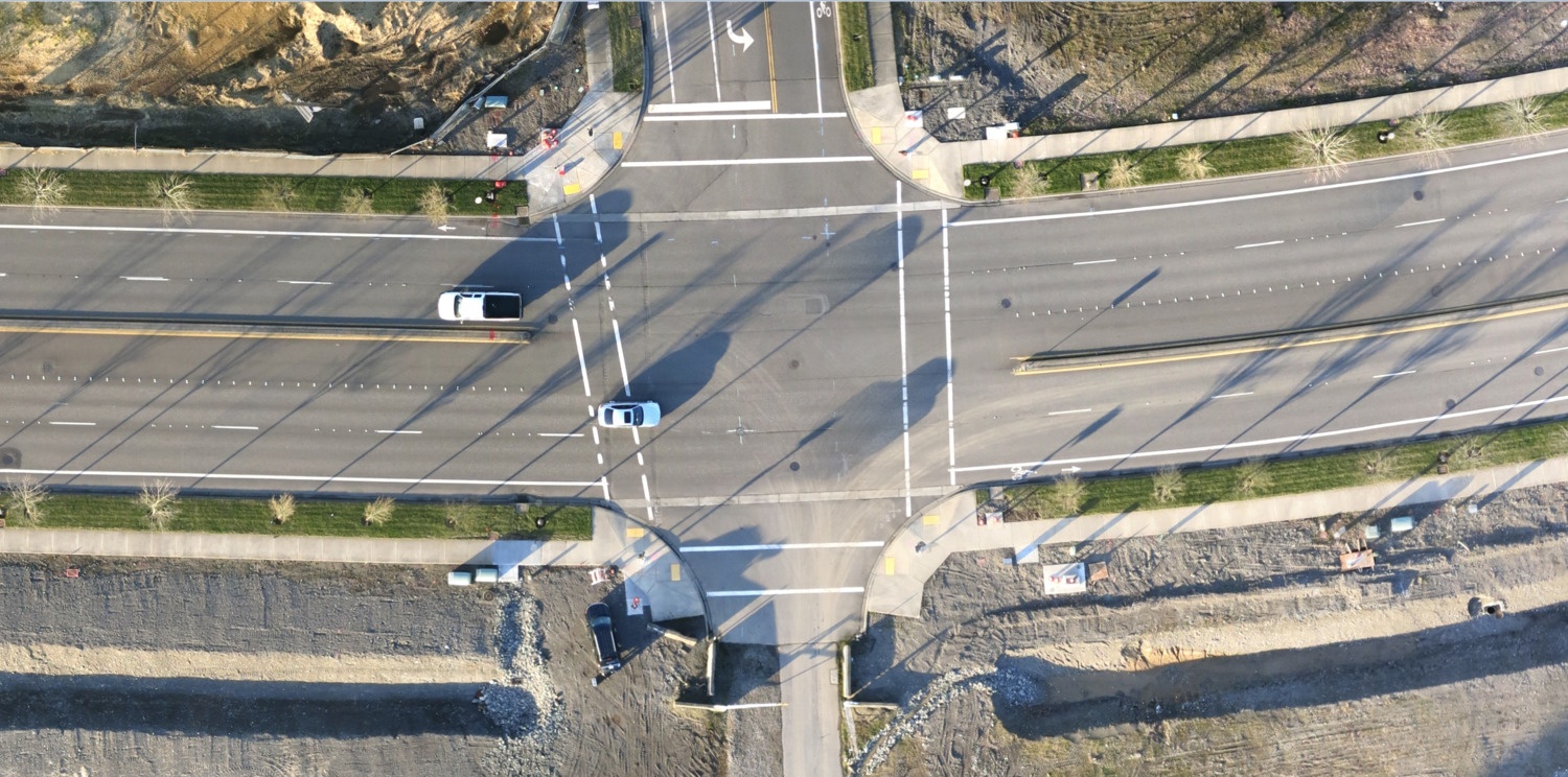
As part of the commitment to serving our clients, we have aggressively invested in UAV/drone technology to better serve the Energy, Public Works, and Land Development industries. These new technologies dramatically change how we collect pre-design data, perform design visualization, and verify construction.
Our survey grade UAV is equipped to provide vertical and horizontal accuracy suitable for many design activities. When augmented with traditional in-field survey methods and sound judgement, these new technologies will greatly accelerate field data collection. They are particularly useful for applications that cover significant ground, projects that necessitate regular survey updates, sites that are inaccessible due to safety or terrain constraints, and inspection tasks that are high-risk and/or repetitive.
We work closely with our design and survey staff to understand the full project scope and seamlessly integrate UAV technology where it is both efficient and effective. By combining the capabilities of our team and this emerging technology, we can better serve our clients and their communities.
Our areas of expertise include:
At MacKay Sposito, we deliver infrastructure solutions and excellence in leadership while advocating for a better tomorrow. We focus on people, building strong and lasting relationships with our co-workers, clients, and communities. Our Civil Engineers, Land Surveyors, Construction Managers and Inspectors, and Landscape Architects stand in your corner and demonstrate selfless dedication because we believe in the work you do and the value it provides to our communities.
We serve so our communities thrive.