Contact Us
  • Williams River Profiles - survey

Share:

Project Highlights:

  • Located three existing gas pipeline crossings
  • Determined depth as well as horizontal location
  • Mapped the creek and river bottoms using a single beam echo sounder
  • Prepared plan and profile maps of each crossing
Cow Creek, Umpqua, and Clearwater Profiles
 COW CREEK, UMPQUA, AND CLEARWATER PROFILES

Project Summary

Client: Williams
Location: Grants Pass, OR; Roseburg, OR; Lewiston, ID
Service Provided: Land Surveying
 
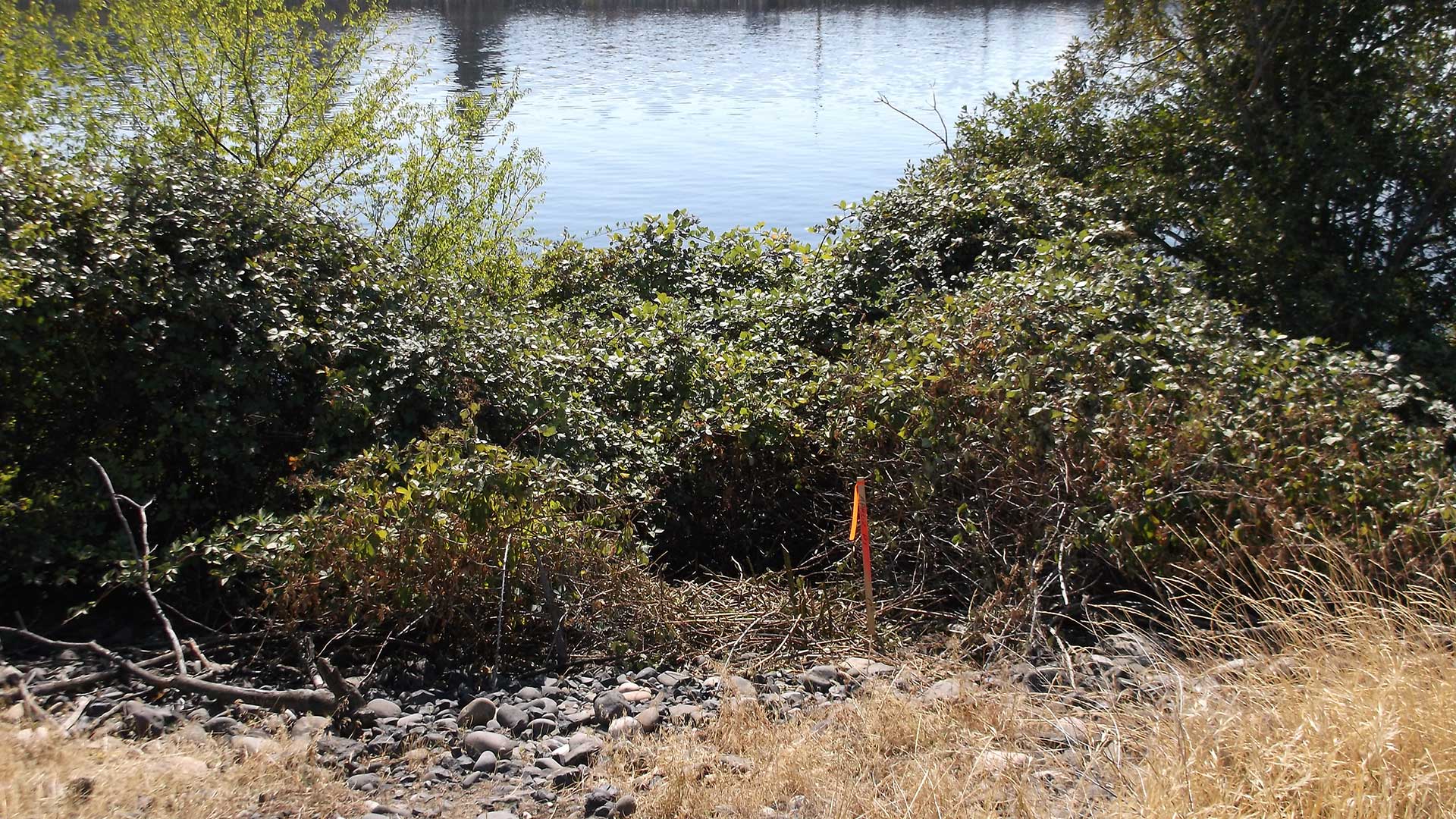
The scope of this project was to locate the existing gas pipeline at the Cow Creek, Umpqua River and Clearwater Crossings. MacKay Sposito utilized an RD7000 utility cable and pipeline locator to pinpoint the alignment of the pipeline and determine the depth of the pipe. Then a single beam echo sounder was used to map the bottom of the water crossing.
 
Our final project deliverables were plan and profile drawings of each crossing. Each plan view showed the alignment of the pipeline with stationing, edge of banks, and control used to locate the pipeline. Profile views showed the depth of the pipe, the amount of cover between the pipe and the river bottom, and the water level at the time of the survey.