Client: City of Vancouver
Location: Vancouver, WA
Services Provided:
- Civil Engineering
- Land Surveying
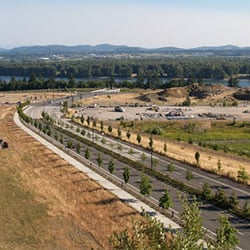
SE 192nd Avenue is a major transportation corridor located in east Clark County. The corridor runs approximately three miles from the intersection of SR 14 and north to NE 18th Street. MacKay Sposito was a key player in establishing the alignment, developing corridor design guidelines, participating in and processing environmental permits, preparing cost estimates, performing Value Engineering studies, preparing preliminary and final engineering plans, preparing right-of-way documents, performing construction staking, and completing as-built plans for phases of this corridor.
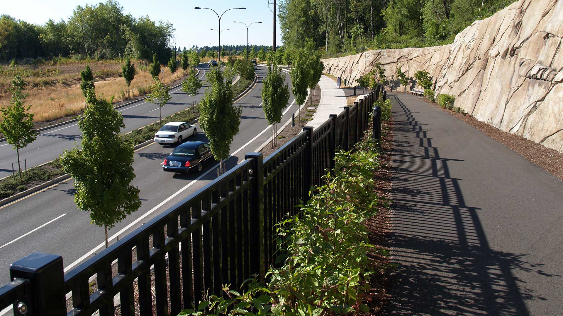
We worked for both private and public clients on Phase III. Design challenges included transitioning through a rock and soil monolith left after previous quarry operations, fills of nearly 90 feet, cuts in excess of 60 feet, steep cut slopes requiring soil nailing and rock anchoring, and a pedestrian trail with an overlook.
MacKay Sposito also performed design and analysis services for the stormwater system. The storm system design included the analysis of several existing adjacent systems that were to be removed and replaced by the project improvements, analysis of the regional stormwater basin, and design of two stormwater combination wetpond/detention ponds. These ponds were designed to two different jurisdictional standards. The larger of the two ponds had a volume of 300,000 cubic feet.
This project also required mitigation for sensitive lands, and the alignment traversed a significant area of surface and ground water, which required careful dewatering to create a stable road prism without negatively impacting the adjacent wetlands.


