Client: Advanced American Construction
Location: Portland, OR
Service Provided: Land Surveying
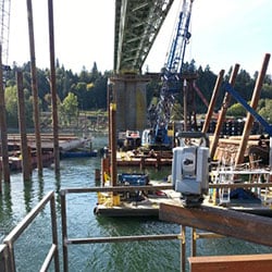
MacKay Sposito was contracted by Advanced American Construction on the Sellwood Bridge replacement project to assist in setting 150 steel piles to support temporary work platforms north and south of the existing bridge.
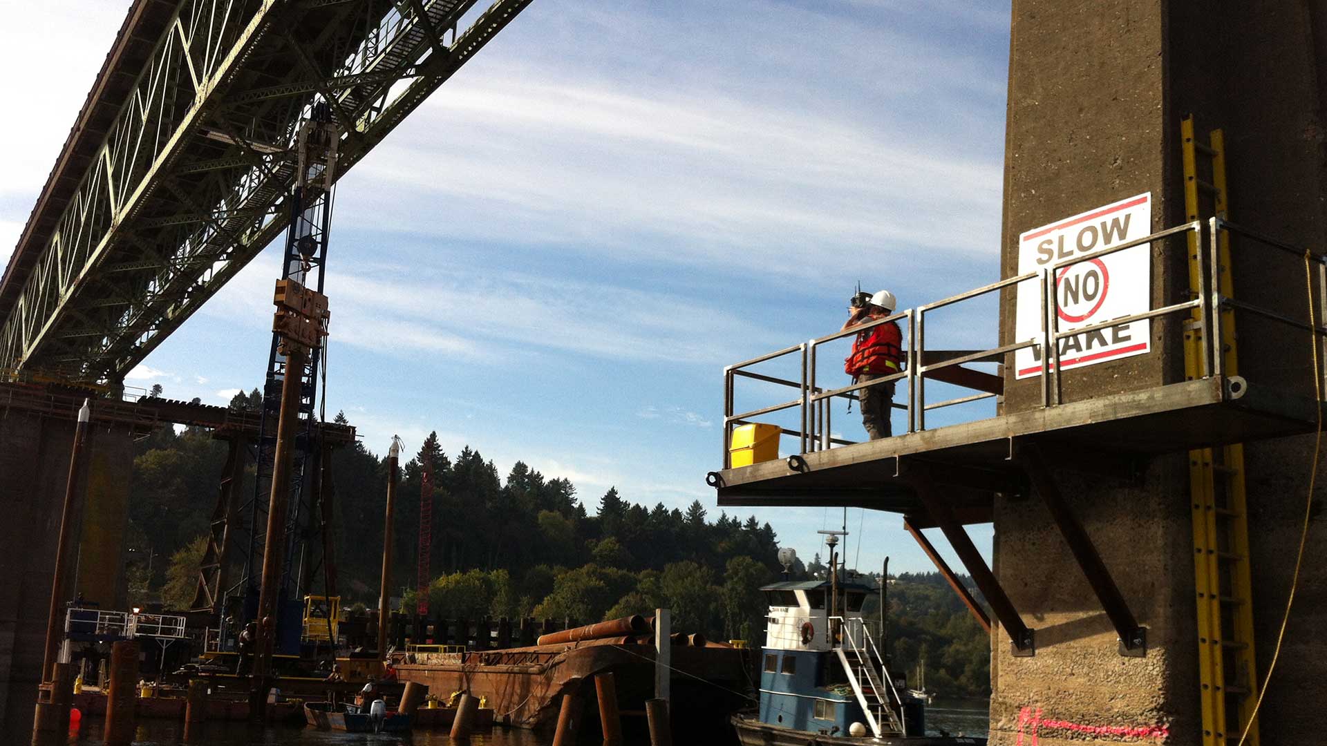
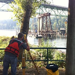
Our role began by creating coordinate data based on the design locations of the pilings. In the field, the construction barges used computers to navigate to the approximate location of where a particular pile was to be placed. Our surveyors used total stations to shoot the current location of the pile suspended from the barge’s crane and then provided directions to the crane operator where to shift the pile. The process involved moving the suspended pile, resetting it onto the riverbed, and re-measuring its location until the piling was within 2/10 of a foot of its design location.
This project proved challenging because there was no flexibility in the schedule with a mid-October deadline in order to protect fish migration. This meant long days and occasional weekends for our crew to complete the project on time.
While we were able to establish control points on each shore, the existing bridge supports, barge, and construction activity on the water prevented direct line of sight to many of the piling design locations. Our solution was to construct temporary platforms about 30 feet above the water on two of the bridge’s central support columns for mid-river instrument set-ups. To account for the high vibrations from construction and bridge traffic, frequent checks were made to control points on shore to ensure our instrumentation was providing accurate positioning.


